 aktuálně 0.1 °C polojasno 27.04. | slabý déšť | 12.1 °C 28.04. | zataženo | 16.2 °C 29.04. | oblačno | 18.8 °C Pivovarská 265 , 788 33 Hanušovice, Czechy | Contact: +420 774 740 413
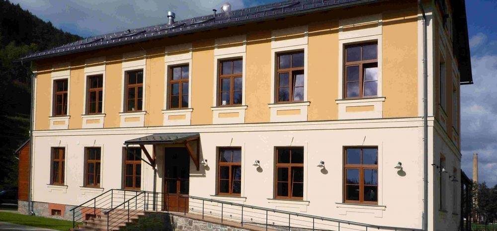
The Museum of Brewing Industry in HanušoviceDo you know when the production of beer stopped to be an alchemy and got the exact rules? If not, all you have to do is make a trip to Hanušovice and visit the Museum of Brewing Industry. The exposition maps out the history of brewing in Hanušovice region from its beginning till nowadays. You will find the historical brewing rights written on parchments, the old brewing hand-crafted tools but also the raw necessary for the production of beer and without them the beer never could arise. A very pleasant is also the possibility to taste the golden liquid. Actually, there is a stylish pub under the museum exposition where you can enjoy the delicious gulps of genuine beer from mountains in the pleasant atmosphere of wooden timbers and glowing fire place.0%
| ||||||||||||||||||||||||